Experience


Asset Management
Asset Management
Our Assets Management Consultants offer a complete suite of asset management services for the full asset lifecycle. Our services are based on real world experience and the need to develop working and affordable solutions that meet compliance, function, service, amenity and other stakeholder expectations.
Engineering
Engineering
Our Civil Engineering Consultants offer a comprehensive range of services to clients in both public and private sectors. We provide expertise in Civil, Structural, Traffic and Transport and Natural Disaster Engineering and also undertake Project Management and Supervisory Services. Our team has a wealth of experience working on projects of all sizes, from small-scale developments to large infrastructure projects.
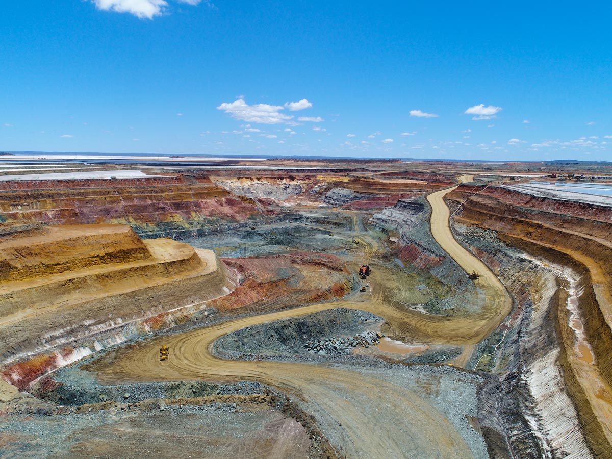
Environmental Services
Environmental Services
Our Environmental Consultants offer a range of services to help clients manage environmental risks and comply with regulations. We excel in environmental due diligence, investigations, approvals, impact assessments, site assessment, remediation, permitting and strategic advice across mining, industrial, waste management and development sectors. Our specialist advisory services also extend to sustainability reporting and auditing against standards, including environmental, health, safety and hazardous materials.

Noise Management
Noise Management
Our Noise Management Consultants provide solutions to help clients manage noise impacts from their operations. We use innovative technology to provide integrated noise management services including noise monitoring, modelling, impact assessments and advice on noise mitigation measures. Our team works closely with clients to develop customised noise management plans that meet their specific needs and goals.
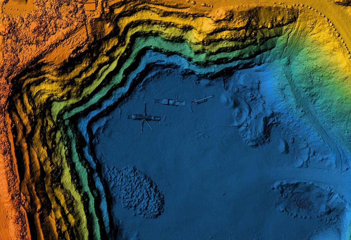
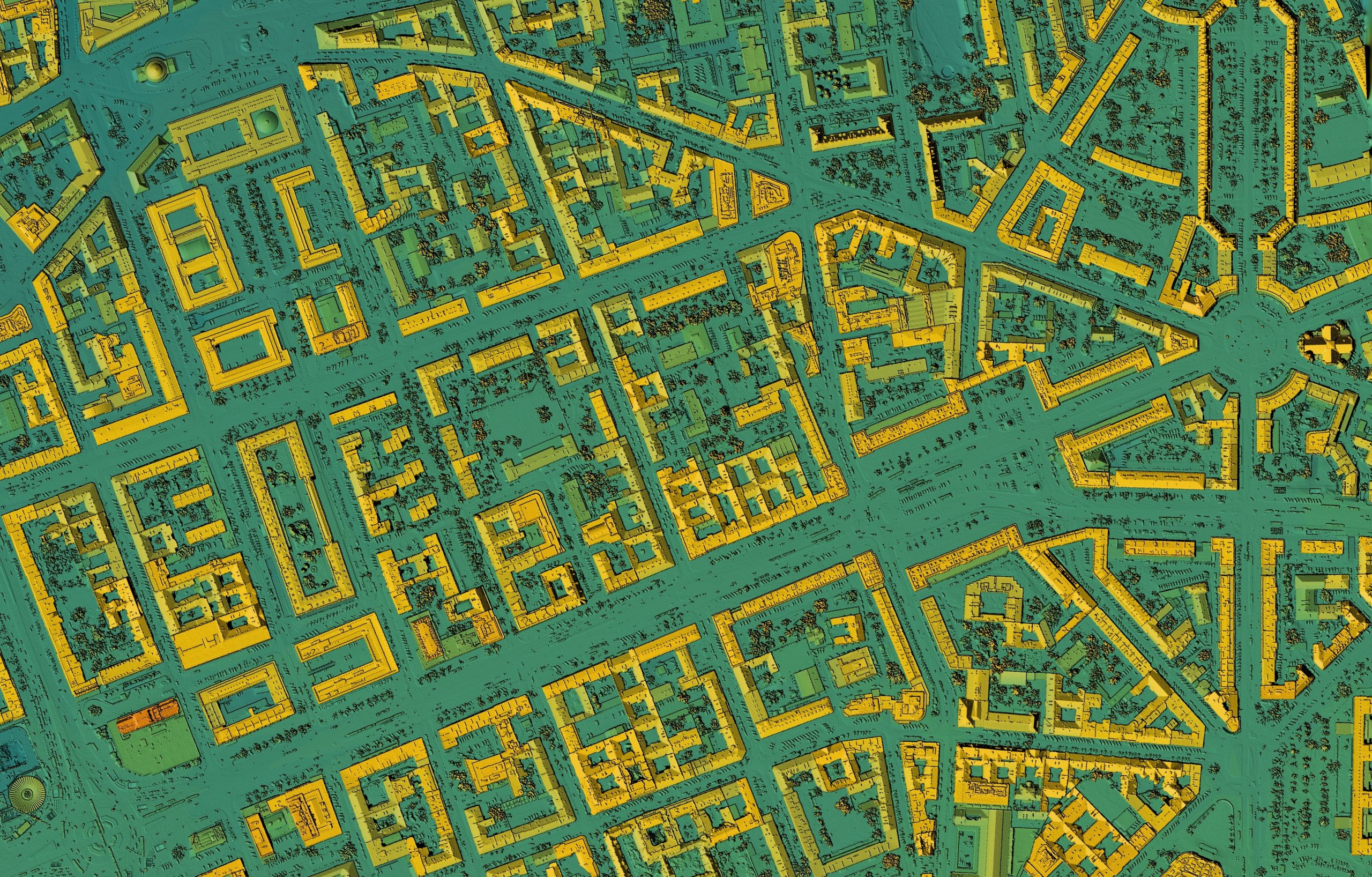
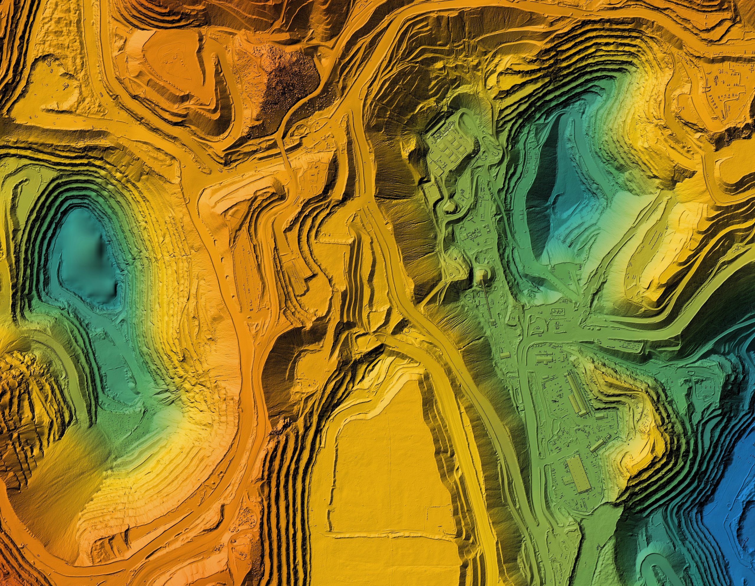
Spatial Services
Spatial Services
Our dedicated Spatial Consultants offer a comprehensive suite of services, enabling clients to gain profound insights from spatial data, facilitating well-informed decision-making. We excel in Geographic Information Systems (GIS), remote sensing, and sophisticated spatial analysis. Our expertise spans a wide spectrum, encompassing spatial system implementation, efficient data management, captivating data visualisation, cutting-edge analysis, skill enhancement through capacity building and expert spatial advisory services.
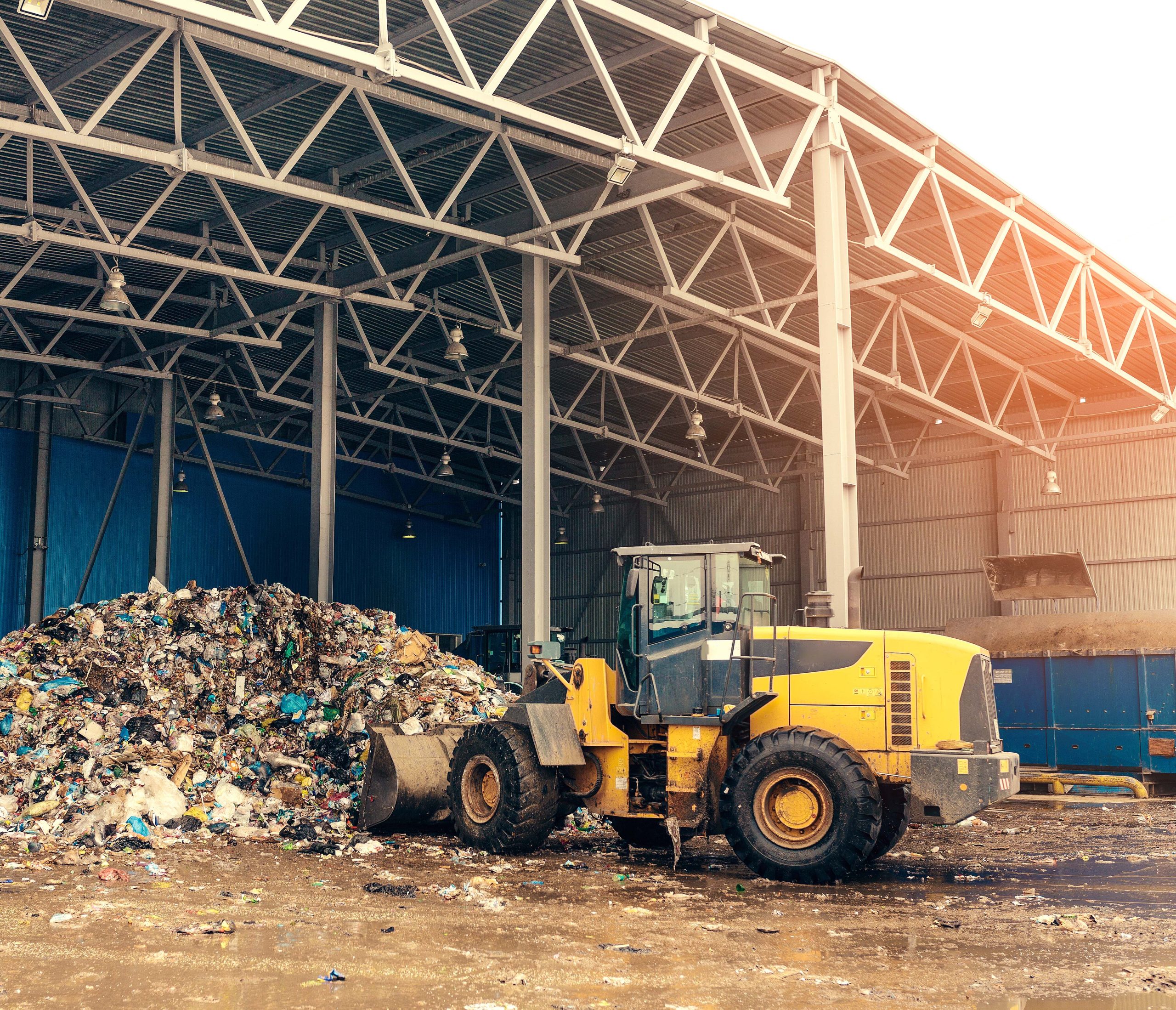
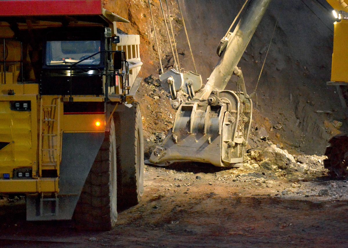
Waste Management
Waste Management
Talis prioritises waste strategic management for a sustainable future. As a leading waste management provider, our Waste Management Consultants develop comprehensive strategies, encompassing waste reduction, recycling, treatment and disposal. We collaborate closely with clients, offering effective and cost-efficient solutions. Emphasising new technologies and the Waste Hierarchy and Circular Economy principles, we minimise waste's environmental impact. We also specialise in waste infrastructure planning, design, construction, operation and maintenance of systems, ensuring safety and eco-friendliness. With up-to-date practices, we minimise environmental impact and promote sustainable development.