
Mobile Mapping – Geolocated Ultra High-Definition Digital Imagery Systems
Talis conducts visual condition assessments of road and infrastructure assets by way of video imagery captured in the field using vehicle mounted camera solutions. Talis employs an ultra-high definition geolocated digital video system which provides a digital record of the condition of the assets at the date and time of capture. Talis utilises these systems in conjunction with sophisticated mobile mapping software to facilitate the desktop condition assessment and defect identification across asset networks.
Tailored Field Data Capture Software Solutions
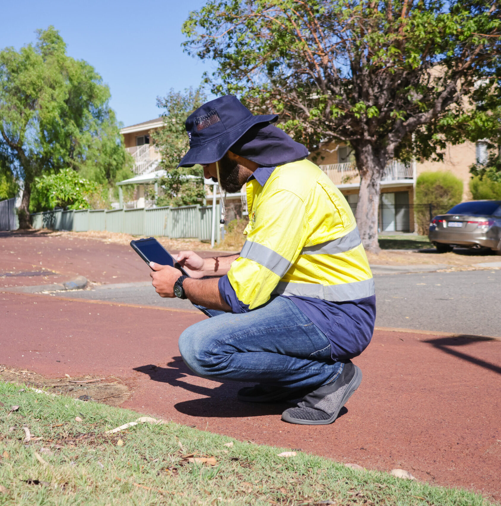
To ensure the best possible in-field efficiency, Talis utilises tailored field data capture solutions. Talis employs computer, tablet and phone-based GIS solutions, that allow for tailored infield assessment of assets such as footpaths, culverts, drainage and other roadside assets. This allows Talis to customise the method of data capture to suit the requirements and specifications of individual clientele in each state/territory. The software used is cloud based, allowing for multiple operators across the network to work on the same data set, resulting in greater quality assurance and quality control.