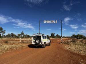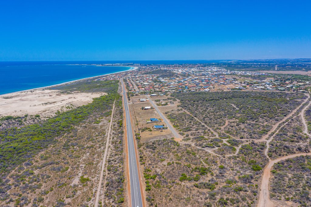
Talis was engaged by the WA Local Government Association (WALGA) on a significant project aimed at strengthening road infrastructure management in the Kimberley region. Spanning over 3,000 km, the project covers sealed, unsealed, and Aboriginal Community Access Roads.
Scope of Work:
- A visual condition survey, including:
- 384 km of sealed roads
- 1,712 km of unsealed roads
- 1,014 km of Aboriginal Community Access Roads
- An inventory update of all roads data captured
- Collect and update all data for sealed and unsealed roads in the RAMM asset management software database for each Local Government, or, for those Local Governments that are not RAMM subscribers
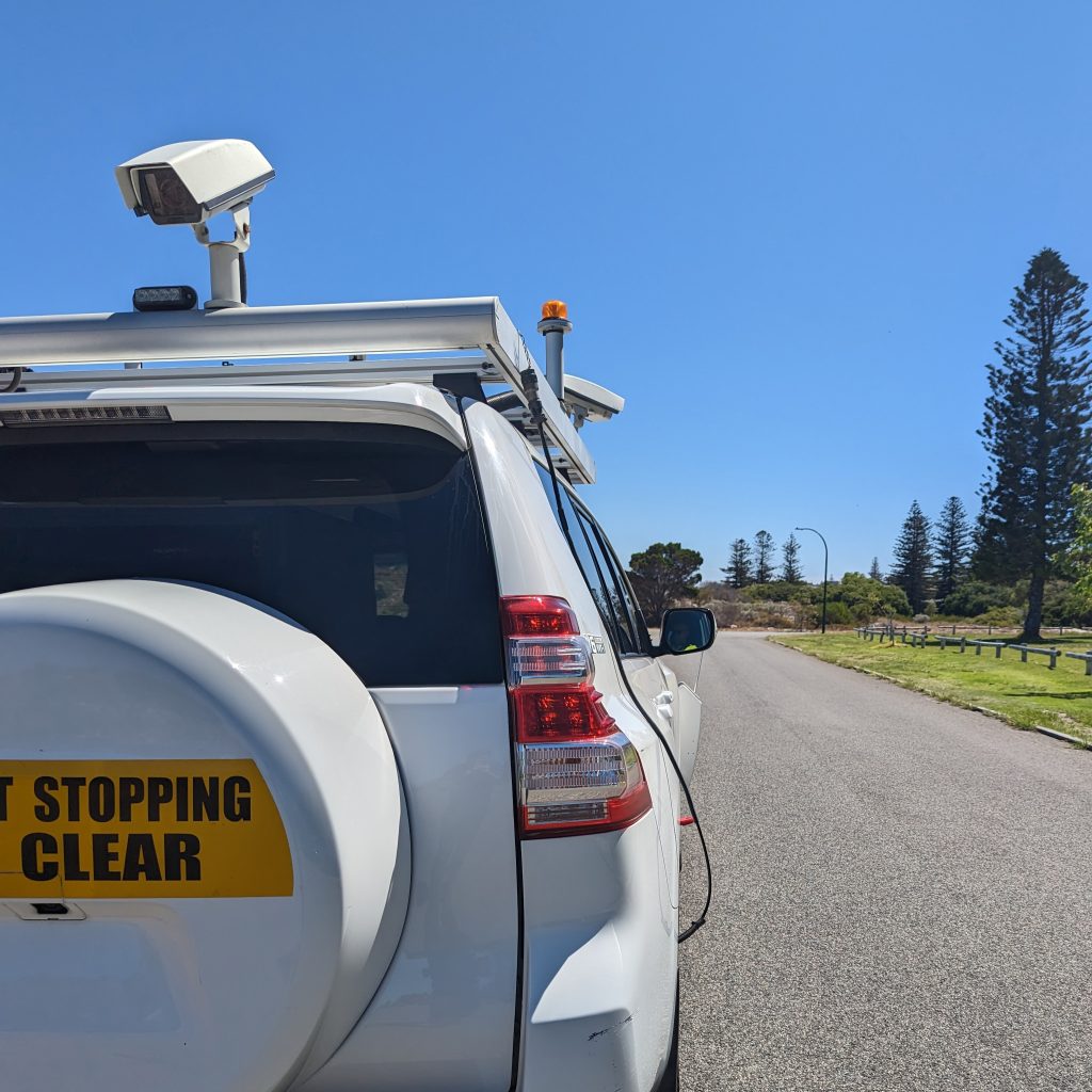
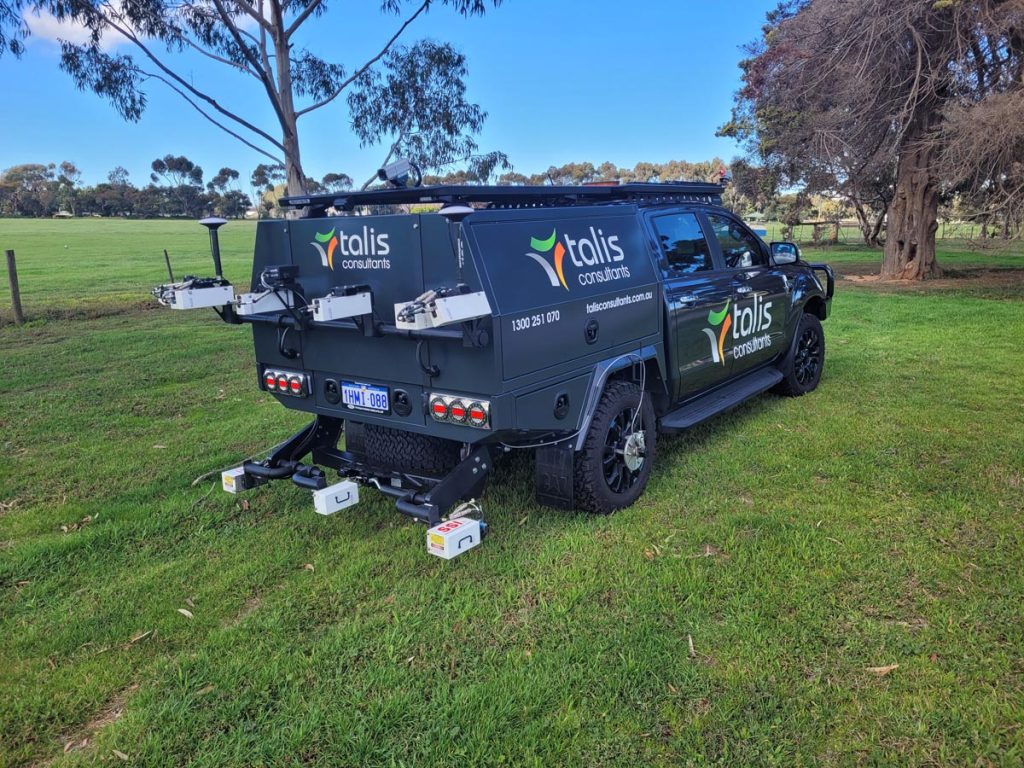
- Providing visual recordings (video or photographic) that capture the full extent of the road surface, verges and roadside drainage and location of all bridges and culverts.
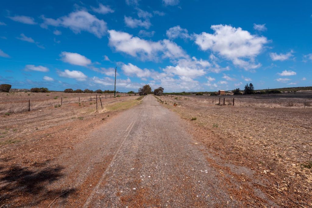
The project delivers ultra-high definition, geo-located video and imagery of the surveyed road network, providing a visual record to support maintenance planning and detailed asset condition assessments. This data will also serve as reliable evidence to support disaster funding applications.
When flooding occurs, local governments must not only restore damaged infrastructure but also demonstrate the extent of the damage to qualify for state or federal funding.
Our ongoing road condition assessments in remote and regional areas capture high-quality footage of sealed and unsealed roads, providing councils with a clear, objective baseline of pre-flood conditions. This enables them to validate funding requests and prioritise restoration efforts more efficiently.