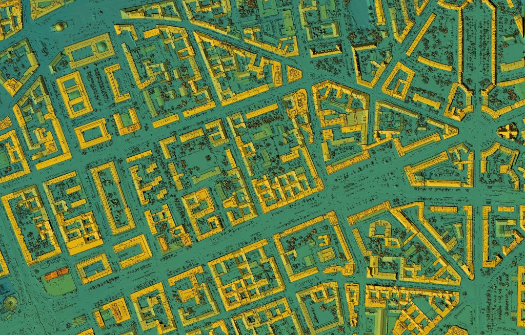
GMCT has a thriving and well-regarded GIS capability, which is used internally across three regions and seven teams, and externally to support a public grave-search service. GIS has become indispensable across the enterprise and is at the centre of GMCT’s digital transformation, with field staff transitioning from paper-based maps to mobile mapping on tablet computers.
In recent years the organisation and its requirements evolved, including a need for improved mobile capabilities, integration with the Cemetery and Asset Management Systems, cloud enablement, 3D capabilities and a contemporary user experience. In recognition of this need, GMCT decided to test the market to see what other technology solutions may deliver against their requirements.
Talis was engaged as an independent geospatial consultant to prepare for the procurement, including:
- Needs analysis
- Market scan of candidate technology providers
- Definition of functional and non-functional requirements
- Drafting the Request for Tender (RFT)
This involved significant consultation with current and future users across regions and teams, and will result in documentation suitable to allow vendors and technology providers to present their offerings to GMCT through a formal Request for Tender process.

